

Forget 100 degrees, Seattle. How about 110?
As the clock inches closer to a dangerous Pacific Northwest heat wave—one that will likely rewrite almost every major heat record in the books—the predicted high temperatures have gone from significantly hot to sickeningly hot.
110 degrees in Seattle, a city snuggled up against the cool waters of Puget Sound, is more than just wrong. It’s downright dangerous in a place unaccustomed to extreme heat—a city where less than half the population has air conditioning, a city where temperatures have only reached the century mark three times in the past 125 years.
Unfortunately, it’s becoming increasingly possible that Seattle’s official temperature sensor, located at Sea-Tac Airport, will hit 110 before all is said and done.
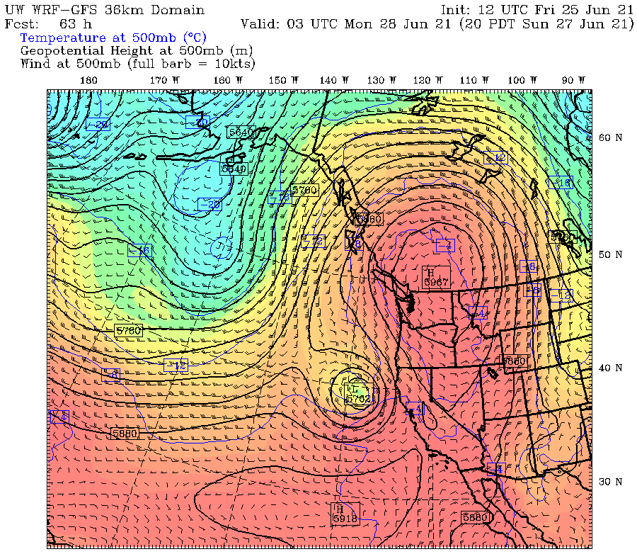
The culprit behind the upcoming weather madness—a sprawling, suffocating upper-level ridge of high pressure—has already arrived on the scene, setting up shop over Vancouver Island. As the weekend gets under way, this ridge of high pressure will shuffle slowly eastward over southern B.C., likely baking the region in a blistering heat unheard of in modern times.
All-time heat record of 103 likely to fall on Sunday, with hotter conditions Monday
Seattle’s all-time record high temperature of 103 degrees, set on July 29, 2009, is all but guaranteed to fall by the wayside on Sunday, with temperatures expected to soar past 105. Then, on Monday, Mother Nature looks to crank up the dial even more, with hot easterly winds sending the mercury skyrocketing toward an unthinkable-until-June-2021 high of 110 degrees.
For context, a high temperature of 110 in Seattle would top the hottest temperatures ever recorded in Washington, D.C. (106), New York City (106), Atlanta (106) and Chicago (109). And it goes without saying that air conditioning is widespread in all of those cities.
When will the extreme heat end?
The worst of the heat should peak Monday afternoon and evening, with a decent influx of ocean air likely to dramatically cool temperatures overnight into Tuesday morning, with lows dipping mercifully into the lower 60s (versus the lower 70s expected on Sunday and Monday mornings). This would equate to an approximately 45-degree drop in temperature from Monday afternoon—highly welcome news for broiling-hot Seattleites. However, the marine air is unlikely to stick around too long on Tuesday, with temperatures rising to near 90 degrees by late afternoon. Slightly cooler readings are possible by Wednesday, however, with highs dipping into the low to mid 80s.
In other words, by midweek, Seattle may only be running 10 degrees above normal—as opposed to 40. But hey, we’ve got to start somewhere, right?
Until then—stay cool, stay hydrated and stay safe, Seattle. See you on the other side.


I blame Al Gore for inventing MMGW. Damn you to hell, Al!
This is truly blazing an insane, and unwanted by this longtime Puget Sound resident, path!