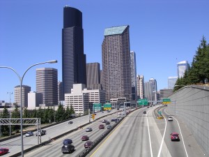
Let the dry weather begin anew.
After experiencing our first set of back-to-back days with measurable precipitation since early July, it didn’t rain in Seattle yesterday. Nor will it today, tomorrow or the day after. In fact, thanks to a ridge of high pressure entrenched along the West Coast, another string of rain-free days lies ahead.
Just don’t expect 48 in a row.
Temperatures on dry day number two—today—will peak in the low 70s, typical for late summer. Around Seattle, the winds will continue blowing lightly out of the north, but closer to the foothills, they’ll pick up out of the east. This will allow warmer air to funnel through the Cascades and into Western Washington, making for a toasty Thursday.

How hot will it get tomorrow? Temperatures around Seattle should reach the low- to mid-80s, with places on the Eastside breaking 85 degrees. In other words, it’ll be pretty warm—just not as sizzling as last Friday, when Seattle saw its first 90-degree September day since 1990. In addition, the hot air blowing into the region will be unusually dry—so much so that the National Weather Service has hoisted a Red Flag Warning (which means there’s high fire danger) due to the lack of humidity.
The winds shift to the west on Friday, knocking our highs back into the upper 70s and dampening the air to a more comfortable level. Late in the day, low clouds off the coast will begin spreading inland through the Chehalis Gap, blanketing the skies over Puget Sound by Saturday morning. The sun should poke through by the afternoon, but it’ll be a much cooler day—with highs only around 70.
Sunny, warm conditions return for Sunday and beyond. By Tuesday, temperatures will again approach 80 degrees as our hiatus from the rain continues.
As does our spectacular second half of summer.


