You know it’s mild outside when the overnight low is warmer than the average high temperature for the day.
That was the case early this morning, when the low temperature at Sea-Tac dropped to only 55 degrees—a notch above the average Nov. 4 high of 54 degrees. With temperatures forecast to rise into the lower 60s this afternoon, today will end up well above normal—lengthening Seattle’s recent balmy stretch to nine consecutive days.
Since Oct. 27, the daily high and low temperatures in Seattle have been stuck above average as we’ve remained on the warm side of the jet stream. High temperatures have generally been running about five degrees above the norm, while overnight lows have trended especially warm—around eight degrees higher than their mid-40s average, thanks to persistent cloud cover at night.

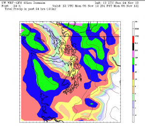
Cloudy skies will prevail once again tonight as another round of rain moves through, keeping overnight temperatures on the toasty side. Lows will range from the lower- to mid-50s, with rain tapering off after midnight.
Tomorrow morning should begin on a dry note, although foggy conditions are possible just about anywhere in the wake of the recent rains. By midday, partly sunny skies are in order, with temperatures once more rising above average—this time into the upper 50s. The day should end as it began, with clear skies finally allowing temperatures to drop below 50 degrees.
The rain resumes late Tuesday morning, continuing through the afternoon, before changing over to scattered showers in the evening. Aided by a cool start, temperatures on Tuesday should only reach the mid 50s—the early November average.
More showers are likely on Wednesday, before a much cooler and drier pattern takes hold on Thursday. With a cold upper low plunging south from the Gulf of Alaska, high temperatures on both Thursday and Friday will only top out in the mid 40s, with lows sinking into the 30s. That’s a 20-something-degree drop from our mild weather of late.
Which, by then, will seem like a heatwave.


