
This time around, there was no stumbling out of the gate.
A year after getting tripped up early on—to the tune of 1.60 inches of rain in the first week—June has started off on the right foot, notching three straight days of warmer-than-normal temperatures with barely a shower in between. In fact, the month has recorded just 0.04 inches so far—all of which trickled down early Sunday morning before the clouds parted.
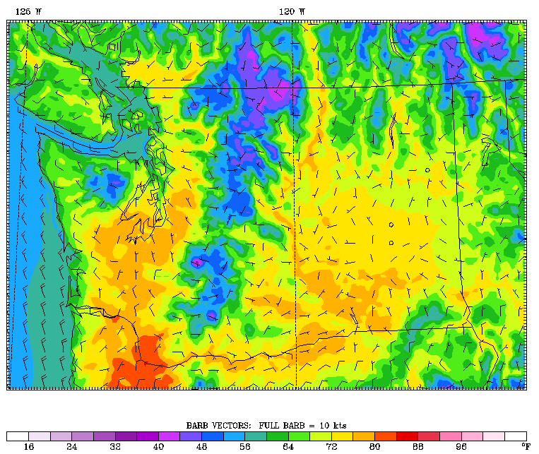
Rain will remain out of the picture through at least the weekend as high pressure off the coast continues our generally sunny, warm regime—with today actually being the hottest of the bunch. That’s because the ridge of high pressure overhead will be at its strongest today, allowing temperatures to climb into the upper 70s across the Sound. This should make for the warmest day in Seattle in nearly a month, when the mercury jumped to 81 degrees on May 11 at the tail end of our spring heat wave.
Skies will stay clear through the evening hours as a pleasant night unfolds, with temperatures not falling below 60 degrees until midnight. Lows will bottom out in the mid 50s tomorrow morning, with a few clouds slipping through the Chehalis Gap and up into the South Sound by sunrise. Overall, though, most spots will start off sunny, as the bulk of the clouds stays west of Olympia.
Temperatures rise back into the mid 70s tomorrow afternoon—just a notch or two cooler than today, as the ridge of high pressure loses some strength. Skies will also turn hazy in the afternoon, thanks to some high-level clouds sneaking by overhead.
Morning clouds are possible again Thursday, but they should scatter out quickly, leading to another above-average day, with highs around the 75-degree mark. (The norm for early June is 68.)
On Friday, a weakening system moving into Canada will throw another batch of clouds our way—with some light rain possible over the Olympic Peninsula, and even as far south as Whatcom County. The Seattle metro will stay dry, although the clouds will stick around longer this time, not burning off until after lunchtime. Highs will still climb to around 70 degrees.
It’s rinse and repeat for the weekend, with a steady diet of clouds in the morning and sunshine in the afternoon. Temperatures will drop a few degrees from earlier this week, peaking in the mid 60s—but the weather will still be decent nonetheless.
Especially compared to last June, when we were already underwater—literally—one week in.


