
If you thought hitting 70 degrees this time of year was impressive, make sure you’re sitting down.
Because Seattle could top 80 by the end of the weekend.
A week after the mercury reached into the 70s for the first time this year—Seattle maxed out at 71 last Thursday, and 70 the day before that—temperatures are forecast to jump even higher, skyrocketing to 80 degrees on Sunday and Monday. Oh, and between now and then, our highs will range from the low to mid 70s—still a good ten degrees above normal.
Who woke summer—er, spring—up?
The much-above normal warmth—more typical of July than May—is the product of another powerful ridge of high pressure developing to our west. As this area of high pressure strengthens over the next few days, it’ll also move closer to the coast, casting all of Western Washington in a gigantic net of blue skies and wall-to-wall sunshine.
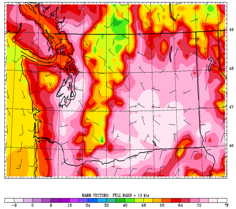
For the rest of today, we’ll actually see things turn hazier across the metro area as a band of high clouds infiltrates the region from the northwest. Temperatures, though, will still easily rise into the upper 60s and lower 70s from Seattle and points south.
The clouds depart overnight, and temperatures fall off into the mid 40s—about as cool as we’ll be the next several days. Tomorrow then dawns bright and sunny, with thermometers rebounding into the lower 70s by the afternoon.
Things warm up even further on Saturday as the ridge of high pressure nudges toward us, centering itself just to the west of Vancouver Island during the latter part of the day. An easterly wind blowing into the Sound through the mountain passes will only add to the sizzle—air warms and dries as it flows down a mountain range—sending temperature soaring to the 75-degree mark.
The heat is really on come Sunday, with high pressure overhead and offshore winds at the surface priming the city for a serious run at 80 degrees. With the normal early-May high in Seattle just 63 degrees, that equates to a nearly 20-degree jump above average. As luck would have it, though, our record high for May 5 is even warmer—86 degrees, set back in 1953—so we won’t be able to call Sunday’s temperatures record-breaking.
On Monday, however, we may. The record high for May 6 is 79 degrees, and current weather models show Seattle flirting with 80 as the workweek kicks off. In any case, the ridge of high pressure weakens significantly on Tuesday, dropping temperatures into the upper 60s as the winds shift back to the west.
Until then, it’s off to the races.


