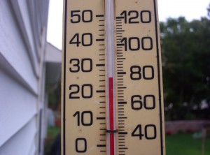
We’ll have to wait another day.
A persistent northerly breeze helped to keep temperatures in check today, preventing Seattle from recording its first 80-degree day of the year. Under ample sunshine, the high temperature at Sea-Tac still soared to 78—14 degrees above normal—but you had to go south of Tacoma to experience the 80s. (Olympia made it to 82, while Portland climbed all the way to 87.)

For those of you still craving 80s in the Emerald City, we’ll get one more shot tomorrow, as things heat up just a tad. The upper level ridge responsible for the summer-like weather of late will move directly over us, providing another degree or two of warmth—and that should be just enough to push the mercury to 80. By Monday night, marine air will begin trickling in from the coast, setting the stage for a midweek cool-down.
With the winds blowing off the ocean, temperatures on Tuesday will fall a good five to seven degrees short of Monday’s highs. Still, we’ll end up several degrees above normal, with an expected high for the day of 73—eight degrees above the May 15 average of 65. Mostly sunny skies will again prevail.
It’s Wednesday and Thursday when the weather will turn noticeably cooler, with highs failing to get out of the mid 60s. Morning clouds will give way to partial clearing both days, with an isolated chance for a light shower or two. Right now, it looks like most of the moisture will stay on the Canadian side of the border—meaning that our current dry spell (no measurable rainfall in Seattle since May 4) has a good possibility of stretching to two weeks.
Long range models indicate we’ll get rid of the clouds by Saturday, with clearing skies and temperatures near 70 for the balance of the weekend. As for the 80s? Nothing in the model world hints at another chance of weather that warm in the foreseeable future—so hopefully Seattle reaches 80 degrees tomorrow.
Otherwise, we’ll be waiting for more than a day…


