What month is it again?
The high temperature at Sea-Tac Airport climbed to 75 degrees today—a reading typical for late August, not early October. In fact, today’s high—12 degrees above the average of 63—was so unusually balmy that it matched the all-time record high for the day (Seattle also hit 75 on Oct. 7 in 2000 and 1951).
The record-tying mark comes in the midst of what’s been a rather warm beginning to October—the high temperature in the first week of the month has been above 70 four out of seven times, with all but one day topping out above average. The trend will continue on Monday, with 70-degree readings expected for a fourth consecutive day.
Oh, and—big shock—it’ll be sunny as well, as our historic dry spell reaches its 78th day.
The picture-perfect weather holds into Tuesday, with temperatures cooling off just a tad as some marine air trickles in. Clouds (remember them?) are also possible early in the day from Tacoma to Olympia, but they’ll quickly burn off by mid-morning.

Wednesday will see continued sunny skies, with morning clouds again affecting areas south of Seattle. The clouds, which will blow into the South Sound via the Chehalis Gap, may even spread as far north as downtown before the sun wins out.
The pattern begins to change on Thursday, as the area of high pressure responsible for our extraordinarily dry weather moves east. With it will go the warmth—highs on Thursday will drop back into the lower 60s as cloudy skies take over. By Friday afternoon, we’ll struggle to hit 60 as a weak front moves through, giving light rain to Seattle.
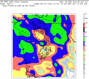
Showers from the front will continue overnight into Saturday, subsiding later in the day. Overall, precipitation totals should be rather light—a tenth of an inch or so in the metro area. Yet for a Seattle spoiled by a string of sun-splashed days, the rain will serve as an important reminder.
That it really is October.


