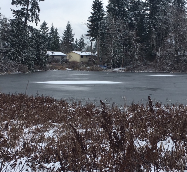
It was like something out of the movies.
As holiday lights twinkled, light snow began swirling over Seattle on Christmas Eve, gently coating the landscape in white. By the time Santa Claus glided into town at midnight, 1.6 inches had officially fallen at Sea-Tac Airport—making for the third-snowiest Dec. 24 in the city’s history.
But wait, it gets better.
The magical snowfall continued into Christmas morning, delivering another inch of snow to thousands of delighted Puget Sounders—and in the process, notching Seattle’s snowiest Christmas in 52 years. With 2.6 inches of total snow from Dec. 24-25, the city easily logged just its sixth White Christmas in over 120 years of record-keeping—and the first since 2008. (The National Weather Service defines a White Christmas as having 1 inch of snow or more on the ground at 7 a.m. on Christmas.)
Here are some other noteworthy facts about our recent snow event:
-
- The 1.0 inches of snow that fell Monday tied 1965 for Seattle’s second-snowiest Christmas on record. Only Christmas of 1909, with 1.8 inches, was snowier.
- Monday’s snow also tied 1965 for the most on Christmas in Sea-Tac Airport history. Sea-Tac opened in 1945. Prior to that, weather records were kept at the Federal Building in downtown Seattle.
- It was just the 9th time since weather records began in 1894 that measurable snowfall (0.1 inches or more) was recorded on Christmas.
- Three of those snowfalls have occurred in the past ten years (2007, 2008 and 2017)
- The official snow depth of 2 inches at 7 a.m. on Christmas morning was the third-greatest on record, trailing only 2008 (4 inches) and 1965 (4 inches).
- It was the first time in Seattle weather history that 1 inch (or more) of snow was recorded on both Christmas Eve and Christmas.
- Seattle has now received 3.0 inches of snow so far this winter:
- 0.4 inches on Nov. 5
- 1.6 inches on Dec. 24
- 1.0 inches on Dec. 25


