Since February, it’s rained on every weekend but one.
This Saturday and Sunday will make it two.
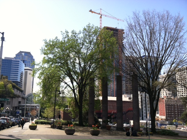
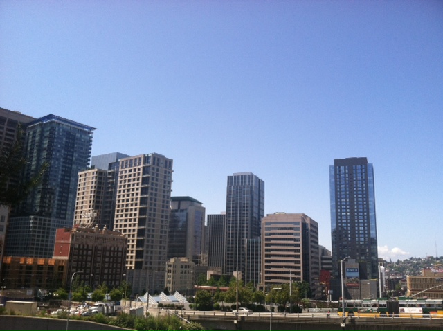
Dry weather, complete with plenty of sunshine, is in the works over the next several days, with high temperatures this weekend expected to rise well into the 60s. In fact, by Sunday we could be approaching 70 degrees, matching the warmth we saw on Monday.
Spring, it appears, has finally sprung.
The run-up to our first rain-free weekend since March 22-23 will alternate between partly sunny and mostly cloudy skies, with the latter more likely on Friday. For the rest of today, sunshine will continue to win out, with just a smattering of clouds dotting the horizon.

Gray skies spread south tomorrow as a weak weather system scrapes the top of the state, bringing a light rain to spots north of Everett. South of there, we should stay dry, but it’ll be cloudy nonetheless—especially during the morning hours. Highs will top out near 60.
The clouds thin out region-wide on Saturday as a ridge of high pressure over the Pacific glides toward us, bringing back the sun and warming things up a skosh. Afternoon readings should inch into the lower 60s—a little warmer than normal for mid-April.
On Sunday, the ridge plops directly overhead, pushing the mercury into the upper 60s as the sunny weather continues. With winds veering to the east—opposite our usual westerly direction—places closer to the foothills could make a run at the low 70s as warmer air spills over the Cascades.
The fun lasts into Monday, with temperatures potentially creeping past 70 across all of Puget Sound, including Seattle proper. The party ultimately crashes Monday night as a cold front rolls ashore, spreading moisture back into the area—to the tune of a quarter-inch of rain by Tuesday.
That’s ok, though, because this weekend, the only thing that will reign supreme is the sun.


