Last October, after a record dry beginning, the rains came back with a fury halfway through.
This time around, having already been soaked at the start, it’ll be a much calmer ride into the midpoint of the month.
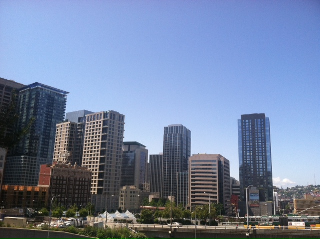
Just make sure to bring along your sunglasses for the journey.
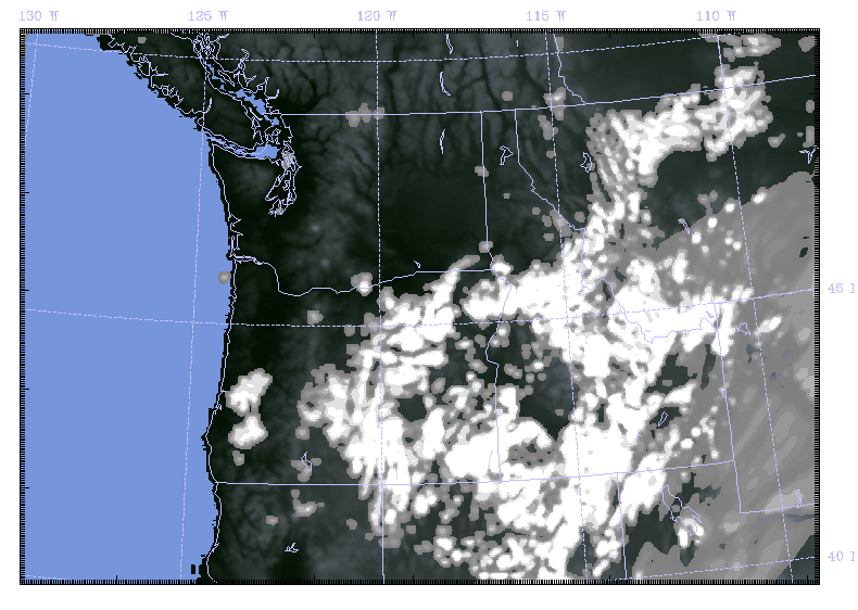
While today’s overcast skies are expected to linger through the early part of the weekend, all signs point toward a sunny recovery by Sunday, with clear skies lasting well into the middle of next week. Even more, temperatures—which have run on the chilly side the last few days—are expected to rebound nicely by Monday, reaching into the mid 60s across the Sound.

Before we get too far ahead, however, there’s still one more shot of rain expected later tomorrow into Saturday morning as a final area of low pressure moves through. Between now and then, we’ll stay dry and cool—highs today and Friday won’t budge beyond the upper 50s. The sun will peek through on occasion, but by and large, things will trend on the cloudier side.
After some early morning rain on Saturday—likely amounting to just a tenth of an inch for Seattle—skies will clear out from west to east around midday. By late afternoon, most of Western Washington should be enjoying a fair amount of sun—although with the mercury parked stubbornly in the mid 50s, it’ll remain quite crisp.
Sunday promises full-fledged sunshine and temperatures closing in on 60 degrees, thanks to a towering ridge of high pressure sliding toward us from the Pacific. This should put us a stone’s throw from the average high for the day of 61.
Our second foray of the month into warmer-than-normal territory (don’t forget last weekend’s splendid weather) gets underway Monday as high pressure scoots directly over us, raising temperatures to near 65 degrees. The pleasant conditions then continue right into the heart of the month, with readings next Tuesday and Wednesday approaching the upper 60s amid a boatload of October sunshine.
Better get those shades ready.


