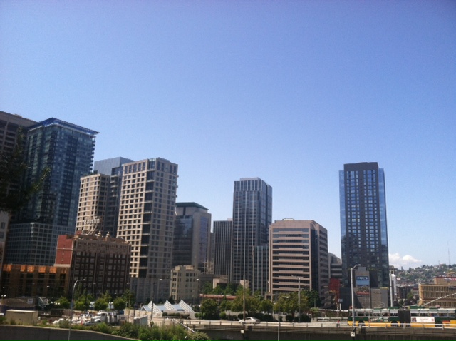
Summer’s finally getting serious.
For the past two weeks, we’ve been teased with glimpses of summer weather—a sunny day here, a warm day there—but by and large, it’s stayed cool and wet around Puget Sound. That all changes tomorrow, as a string of sunny and progressively warmer days begins.

Between now and then, we’ll continue to see clouds and occasional showers roaming around, especially in the Convergence Zone from North Seattle to Everett. The Zone will fizzle out for good later tonight, leaving Western Washington dry and a bit on the chilly side. Overnight lows will fall into the upper 40s and low 50s.
We’ll have sunny skies right out of the gate Wednesday morning, with temperatures warming to the 70-degree mark. Believe it or not, that’s actually cooler than where we should be this time of year—the average high for the Fourth of July is 74 degrees.
Temperatures warm back to average on Thursday, with highs in the mid 70s and sunshine all around. One caveat: some cloud cover is possible earlier in the day, especially to the south and west, but we should be in the all clear (pun intended) by mid-morning.
Our stretch of true summer weather continues Friday and Saturday, with highs rising into the upper 70s. By Sunday, we’re likely to push past 80 degrees for the first time this year (we hit 80 on May 14, before six weeks of cool and damp weather set in). Monday could be even hotter, with temperatures in the mid 80s not out of the question.
Clearly, summer’s done fooling around.


Our average high for the Fourth of July is only 74? Hmm, I thought we were better than that.
You’d think we could at least pull a 75…but no. Blame it on that nagging onshore flow!