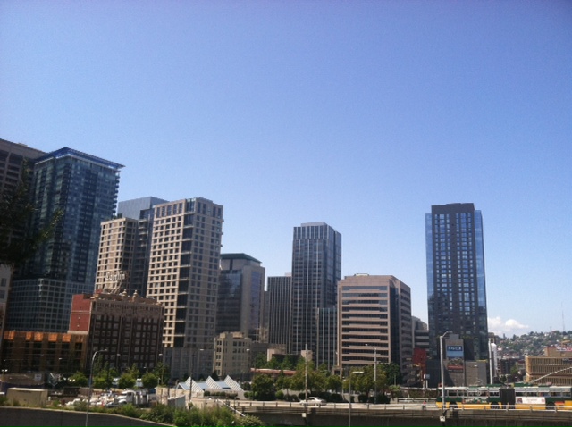
It hasn’t rained in two weeks—and in Seattle, that’s perfectly fine.
In fact, it’s downright normal.
July is our driest month of the year, averaging just 0.70 inches of rain—nearly ten times less than what soaks the region in a typical November. With high pressure over the eastern Pacific and the jet stream well to our north in Canada, rainy days are few and far between this time of year—especially as we get into the second half of July, where most of the daily rainfall records are below a half-inch. (Seattle’s wettest July day on record occurred on July 13, 1981, when persistent morning showers dropped 0.85 inches in the gauge at Sea-Tac.)

What you can bank on in early summertime is a steady diet of morning clouds and afternoon sunshine—a pattern we’ll follow to a tee the remainder of the week. With higher pressure off the coast and lower pressure over Eastern Washington, clouds forming over the cool waters of the Pacific will be dragged inland each night, blanketing the city in varying shades of gray by sunrise. Some days—like tomorrow—we’ll be socked in past the lunch hour, while other days—like this weekend—the sun will appear by the time the morning coffee’s brewed.
Temperatures will also waffle around a bit, depending on when the clouds burn off—with highs in the low 70s a good bet for tomorrow, whereas Saturday and Sunday should crack the mid 70s. In all cases, lows will bottom out in the mid to upper 50s, making for a string of cool, pleasant nights.
Hotter weather returns early next week as some warm air from the Southwest fans out in our direction—enough to boost the mercury into the low or even mid 80s by Tuesday. (Seattle hit 86 last Tuesday, and 83 the Tuesday before that, so it’s only fitting.) We’ll also lose the morning gray as the winds flip from west to east, making for a brighter start to the third week of July.
Of course, things can only be so dim when rain’s out of the picture.


