There’s nothing like basking in the glow of victory when Mother Nature lends a hand.
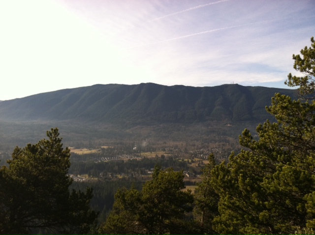
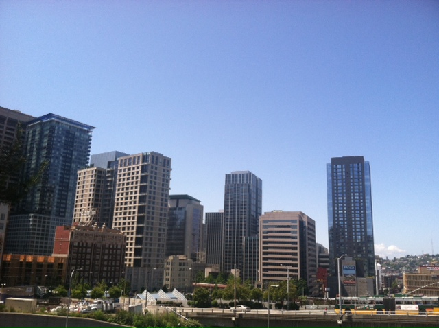
Clear skies set in over Seattle today in the wake of last night’s NFC championship win, illuminating our proud city in sparkling blue sunshine as our January dry streak reached week two.
And as we count down the days to the Super Bowl, super dry will remain the weather of choice for Western Washington.
A strong ridge of high pressure off the West Coast will keep us out of rain’s way for most of the week, with foggy mornings and afternoon sunshine the rule of thumb through next Sunday. High temperatures will generally hover near 50 degrees, lowering to the mid 40s on days when the fog is more stubborn.

The one exception to all this? Late Tuesday into Wednesday morning, when a very weak front skirts the state, lobbing a few rogue showers in our direction. At this point, it looks like most of the moisture will be aimed at the foothills and places north of Everett, with the Bellingham area picking up a tenth of an inch or so. Back in Seattle, we could see a sprinkle or two—but measurable rainfall is unlikely.
Assuming we dodge the drops, Wednesday will mark the tenth straight day without rain at the airport—a remarkable feat for what’s typically Seattle’s second-wettest month of the year. In addition, we would be within shouting distance of the all-time record for consecutive dry days in January—15 from 1963. (We made a similar run at this mark last January, reeling off 12 straight dry days before rain returned on the 23rd.)
As for any legitimate rain events the rest of the month, long-range models hold the ridge of high pressure in place through at least next Sunday, steering the storms well to our north. Beyond that, there’s a possibility that things could finally turn a little wetter as January winds down—and Super Bowl mania ramps up.
Rain or shine, go Hawks!


