
Normally, sunshine and November go together like oil and water.
This time around, it’s more like peanut better and jelly.
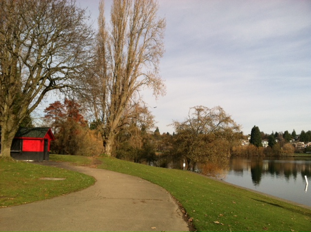
For the fifth straight day, sunny skies are blazing over Puget Sound as a big ridge of high pressure remains sprawled across the Northwest. After another cool, frosty morning, temperatures are already rebounding into the lower 40s—on their way to afternoon highs near 50 degrees.
Great picnic weather for a PB&J, huh?
In what’s typically our soggiest time of the year, Mother Nature continues to dazzle Seattle with abundant sunshine and comfortable mid-day temperatures. Sure, it could be warmer—coats are a must when it’s only in the 40s—but it could also be wetter. Like much wetter.
The second half of November has the unfortunate distinction of collecting, on average, a whopping 3.38 inches of rain—more than any other two-week stretch of the year (and more than the average precipitation in any month from April to September). Historically, some of Seattle’s biggest rainfalls have occurred during this time frame, including the 3.41 inches that fell at Sea-Tac on Nov. 20, 1959—the city’s third-biggest rain event of all time.
November 2013, however, has been singing a different tune, with just 1.28 inches since the halfway point (3.68 on the month)—and little more in sight. In fact, we’ll likely stay dry through at least Wednesday—extending our sabbatical from the rain to a full-on week.
After wrapping up the weekend on another sunny note, Monday will dawn much the same, with the mercury bottoming out near the freezing mark around sunrise before climbing back into the upper 40s. Sunny skies will dominate through the afternoon.
A weak weather system skirting the coast approaches later tomorrow, increasing the cloud cover across Western Washington overnight—although no rain is expected. With overcast skies in place, temperatures will only drop into the upper 30s—our warmest night since the dry spell began.
The front falls apart over the Olympics on Tuesday, keeping the vast majority of the rain west of the I-5 corridor. A couple sprinkles are possible around the metro area, especially from Tacoma south, but Seattle proper should stay dry. It’ll be cloudy nonetheless, though, with peak readings again leveling off near 50 degrees.
High pressure makes a comeback on Wednesday, clearing things out enough for partly sunny skies and seasonable temperatures. Another front then reaches the state on Thanksgiving Day, increasing the odds for some light rain.
And a pairing more suitable for this time of year.


