Can’t remember the last time it rained in Seattle?
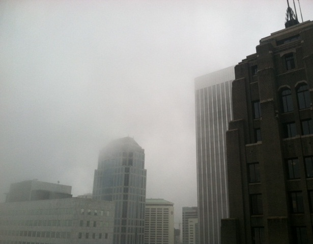
No worries—the whole city’s been in a foggy state of mind.
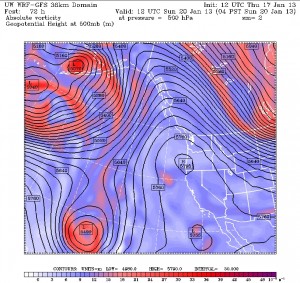
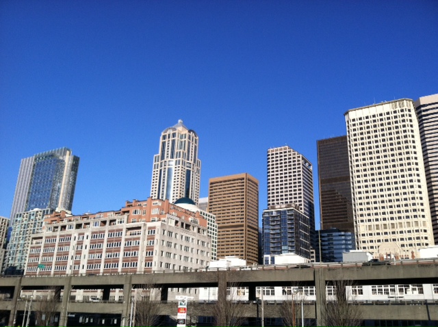
Chilly fog swept into the metro area once again early this morning, casting a blanket of gray from Everett to Tacoma while mountain locations basked in 45-degree sunshine. The topsy-turvy weather setup, known in the meteorology world as a temperature inversion, is being caused by a strong ridge of high pressure overhead and cold air stuck at the surface—neither of which is going away anytime soon.
Already, the stubborn area of high pressure—parked off the West Coast for the better part of the week—has kept Seattle dry for six straight days, with our last rainfall a measly .01 inches on Jan. 10. While not record-shattering, the dry spell is already good enough for January’s longest since 2009, when no rain fell in Seattle for 11 straight days. With no moisture in sight through the long holiday weekend, we should match this streak by the end of the day Monday—possibly one-upping it if we squeak by dry on Tuesday.

Between now and then, the weather forecast remains a broken record, with varying degrees of fog and sun each day, bookended by sub-freezing temperatures. With no wind around to boot the cold air out of here, the mercury will have a tough time reaching past the lower 40s—let alone the upper 30s on really foggy days like today. It’ll continue to be a much different story in the mountains, however, as temperatures rise to near 50 degrees above the inversion.
The winds of change finally blow in here on Tuesday, as a long-overdue breeze from the south scours out the cold air, spiking temperatures back into the mid 40s. In addition, light rain from a passing system should finally dampen the gauge at Sea-Tac Airport, either Tuesday night or early Wednesday. If the rain holds off until Wednesday, our dry streak will go down as tied for Seattle’s second-longest on record during the month of January—topped only by a 15-day dry stretch from Jan. 16-30, 1963. (The all-time mark for most consecutive dry days during the winter is 21, logged back in December 1985.)
Regardless of when the first raindrops fall, we’ll be back in the familiar wet-and-gray pattern for good by the second half of next week, as additional systems ride in from the Pacific. At this point, none of the storms look particularly wet—e.g., no copycats of Jan. 9’s 1.51-inch gullywasher—but after days on end of dry, cool conditions, it’ll be noticeably drippy.
Still in a haze?
Just call it foggy-turned-soggy.


I miss single digit weather. The good ol’ days of 1989
Yeah, this 30-degree weather has nothing on February 1989 and its 7-degree reading on the 4th!