Chalk another one up for the clouds.
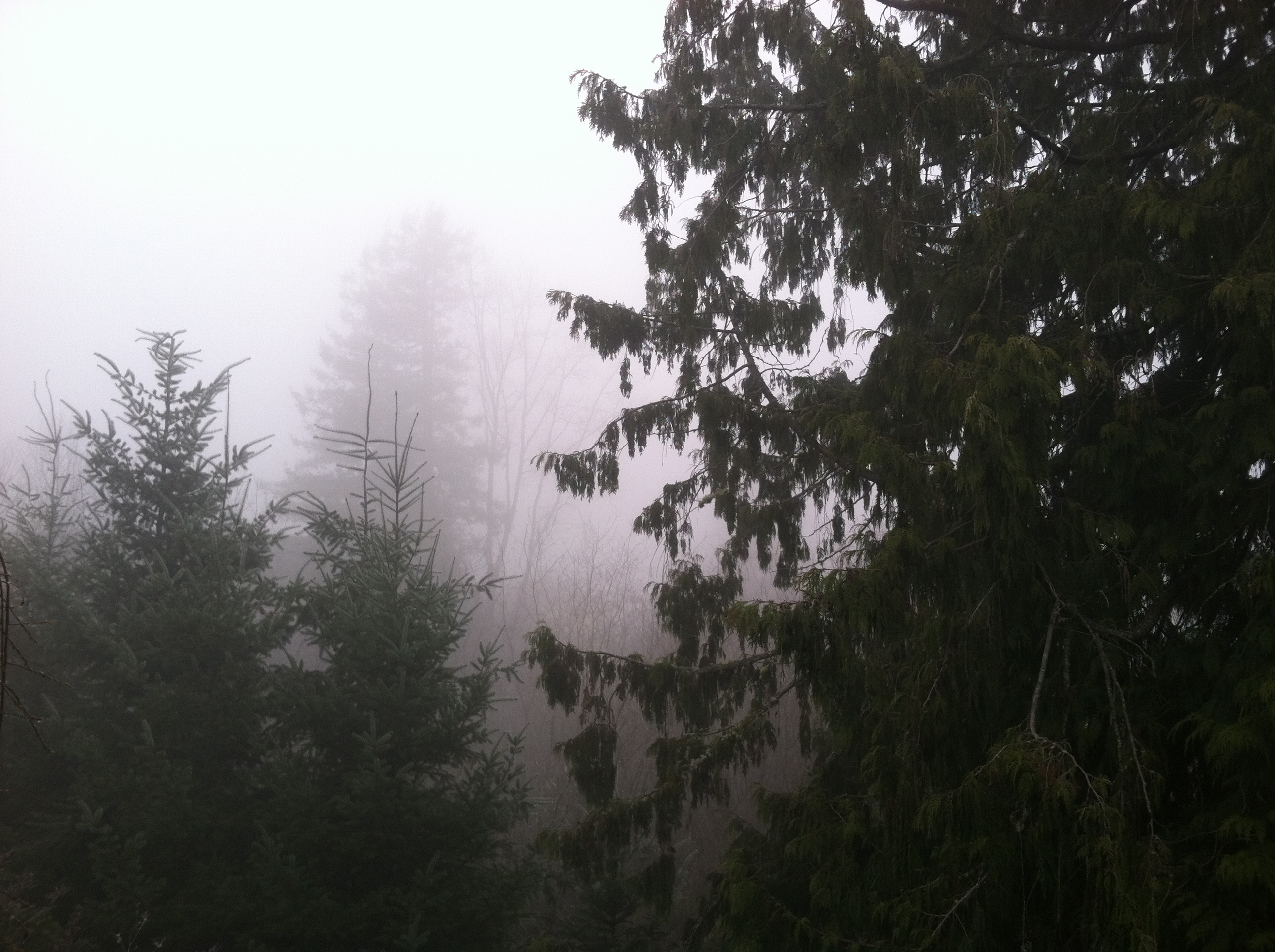
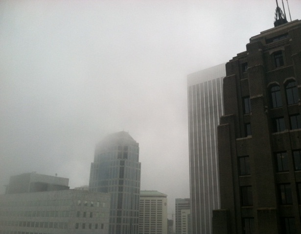
In the latest installment of our ongoing daily battle between sunshine and lack thereof, the latter won out yet again, casting the region in a blanket of gray from start to finish. If that sounds like a broken record, it’s because it is—Seattle has been shrouded in low clouds and fog ever since early Saturday.
In other words: Sun 0, Clouds 3.
It’s been a dark few days across Puget Sound, as a weakening October sun has been unable to burn through the layer of thick fog that’s greeted the region the past several mornings. While the sun has done quite well in places 1,500 feet or higher—to wit, it was a summer-like 70 degrees at Snoqualmie Pass this afternoon—the main metro area has largely been left out in the cold.

The reason? The ridge of high pressure that’s been parked over the region of late has squelched any chance for wind—meaning there’s no mechanism for getting rid of the cool, damp air at the surface. (Cold air is heavier than warm air, so when it becomes entrenched at the bottom, it can be hard to budge.) Were this summer, we could rely on a high-in-the-sky sun to chip away at the fog—but by this time of year, the sun’s lowering angle makes it pretty difficult to overcome morning cloudcover.
Unfortunately, with high pressure forecast to stick around for the remainder of the week, clouds and fog will continue to plague us for the next several days. This, in turn, will limit Seattle’s high temperatures to 55 and below—a couple pegs off the late-October norm of 57. For tomorrow, Seattle is likely to top out only in the low 50s—with similar temperatures in store on Wednesday.
On the bright side, however, it’ll remain dry—save some early morning mist where the fog is thickest. No measurable rain is expected through at least Saturday as high pressure forces the storm track to the north, meaning that our current dry spell—Seattle last saw rain on the 12th—should reach the two-week mark come Sunday.
Memo to local umbrellas: You can rest easy another week.


November could be much dryer then normal also from what the TWC is saying, ridge in the west and trough in east, very el nino like pattern not good for snow fans if this pattern last all winter like last year.
Take that with a grain of salt, though–with no El Nino or La Nina in play, it’s really hard to say how November will shake out. Last October, November and December, however, were all wetter than normal–and it didn’t mean anything when it came to snow chances.