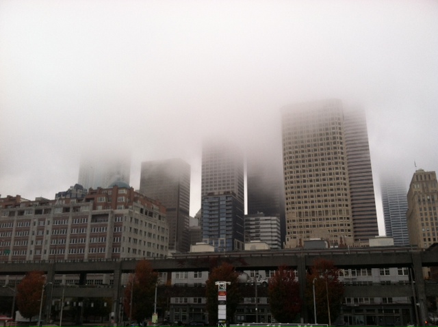
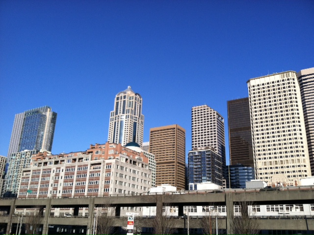
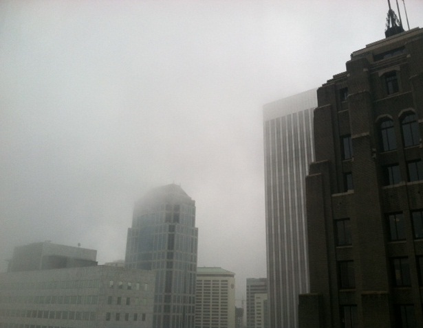
Had enough of the fog? Sick of waking up each morning to a world blurred by gray?
Hang in there—the winds of change are coming.
We just need to stick it out another three days.
A cool, dry wind is expected to trickle into Western Washington Sunday afternoon as a blast of cold air dives into the Canadian Rockies, wiping out the stubborn low clouds and fog that have dogged the region for days on end. With the drier air will come clearer skies and chillier overnight lows—some spots could even sink into the mid 30s by early next week.
First, though, it’s rinse-and-repeat until Sunday morning.
After a chance for some sun late this afternoon, thick fog will once again hound the metro area overnight, digging in its heels even more on Friday. Unlike the past two days, when sunshine gracefully broke through for a few hours prior to sunset, the fog tomorrow is predicted to be especially persistent. Under cloudy skies, high temperatures will struggle to make it out of the lower 50s—similar to the day-long chill we experienced last weekend.

Saturday dawns in a nearly identical manner, with the strong ridge of high pressure to our west keeping cool, wet air locked in near the surface. With no wind to speak of, that moist air won’t be going anywhere, leaving Seattle socked in the fog once again. As has been the case all week, though, it’ll be a world of difference in the mountains, where sunny skies will vault temperatures into the mid 60s.
The clouds linger through the first part of Sunday, before the much-anticipated winds finally arrive. With higher pressure taking shape to our north and northeast, the winds will blow from a similar direction, pulling in significantly drier air from the Canadian prairies. This should do wonders in clearing out all the low-lying moisture that’s been Seattle’s breeding ground for fog.
By Monday, all of Puget Sound will be basking under clear, crisp skies—with the cool temperatures this time around supplied by refreshing winds out of the north, rather than a sea of fog. Highs on Monday will top out in the lower 50s—pretty consistent with the string of below-average readings we’ve seen much of this month. (As of today, October is currently running 1.7 degrees on the cool side—on pace to become Seattle’s first below-average month since last January.)
The sunny weather continues into next Tuesday, with the potential for some pretty nippy temperatures to start off the day—mid 30s are possible in spots. After that, it’s looking increasingly likely that we’ll finally revert back to some more typical wet weather—nothing major, but rain nonetheless. This would halt Seattle’s October dry spell at 17 or 18 days—still shy of the monthly record of 23 days logged in 1986, but impressive nonetheless.
If only dry had been equated with sun more often, it’d be all the more wowing.

