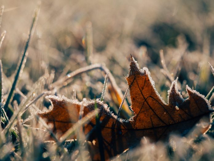
It wasn’t just downright cold for early October this morning. It was historically cold.
Seattle plunged to 34 degrees just after 6 a.m., tying Oct. 10, 1946, for the coldest temperature recorded in the first half of October in the history of Sea-Tac Airport. Records at Sea-Tac date back to 1945.
Had the frigid low temperature occurred on any other date between Oct. 1-15, it would’ve also set a new daily record low. Alas, it appears that Oct. 10 and 34 degrees go together like peanut butter and jelly … once every 73 years. (Heads-up: Get those ice scrapers ready for Oct. 10, 2092. You’ve been warned.)
Does this mean we’re in for a snowy winter?
The wintry start to the day—courtesy of chilly upper-level winds from the north and cold high pressure at the surface—comes on the heels of Wednesday’s 38-degree low temperature, which until today was Seattle’s coldest in early October since 1990. That winter, as those of you old-timers (or old millennials, like the author of this blog) will recall, was marked by a monstrous Convergence Zone snowfall in December and an ensuing deep freeze.
Interestingly enough, several other early October cold snaps in Seattle—1946, 1949 and 1985, to name a few—were also followed by rather snowy winters. The winters of 1946-47 and 1985-86 were about on par with last winter, receiving roughly 20 inches of snow, while the winter of 1949-50 was like a marriage between snowmaggedon and snowpocalypse, yielding a staggering 63.6 inches of snow.
To be clear, a winter like 1949-50 is not expected this year. That winter was an extreme outlier in the modern era (along with the winter of 1968-69, which logged 67.5 inches of the white stuff).
However, it’s interesting to note that the weather pattern that led to our snowiest February in a century earlier this year—a ridge of high pressure over the Eastern Pacific that forced cold air to spill southward into the Northwest—has already repeated twice since late September. In both cases, had the calendar read November—or possibly even late October—snow would have been likely in Seattle.
Typical October weather returning soon
If this post has you shivering, take heart: A more normal October pattern is in the works shortly. After another chilly start tomorrow, highs will rise to the low 60s during the afternoon. Clouds and light rain will then spread back into the region on Saturday, bumping overnight lows up into the mid-40s by Sunday. Beyond that, moderate to heavy rains look to take over, making for increasingly soggy days, mild nights and lower heating bills.
Until then, bundle up!


I was in Spokane for the day yesterday, and it was very cold, 27 when we got there at 10am.
4 inches of snow, power outages and trees fallen due to snow and leaves still on trees.
I know, not Seattle, but even for eastern Wa rare.
How many October cold snaps weren’t followed by snowy winters?
love your blog.
Justin, I can put up with near freezing temperatures once every 73 years, and I have 10/10/92 circled on Josie’s calendar, but I don’t want to hear that a certain wind storm is repeating every 57 years. We’ve got a wedding to tend to on Saturday and those 2/20s gals wouldn’t be happy. Give me late August birthday weather, such as we usually have on the 23rd, anytime. Cheers.
Steve-O! Glad you’re looking out for Josie–and that there was no Columbus Day repeat. That just wouldn’t have been fun for Feb. 21 and Feb. 25. Tell Feb. 21 congrats for me–you can’t go wrong marrying a Smith!
-July 5
Thank you (as always) for the excellent post!
you mean higher heating bills not lower 🙂 !
At some point a 1949-1950 or 1968-1969 winter will happen again. They are outliers, but about every 30 to 40 years you get one of those. It’s been just over 50 years since the last. All of the factors that were present in those winters can still happen (even with climate change). Boy, it will really throw the region for a loop when it does happen again. Even a winter that gets around 40 inches of snow is like to cause massive disruption that would make last February look like a picnic.