Halfway through November, we’re in a bit of a rainfall deficit. With just 1.96 inches in the rain gauge at Sea-Tac so far, we’re received only two-thirds of the Nov. 1-15 average—exactly an inch less than normal for the first part of the month.
Fortunately—or unfortunately for those still drying out from Seattle’s near-record rains in October—we’ll be running a surplus by Thanksgiving, if not sooner.
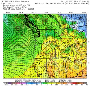
A much more active weather pattern—promising sopping rains and howling winds—is at our doorstep, with the first soggy system set to move through here on Saturday. Until then, we’ll see a mostly dry day tomorrow, with just a chance of light rain later in the day. However, the made-for-postcard skies that dominated the weather picture today won’t be repeated, as clouds stream in ahead of the front.
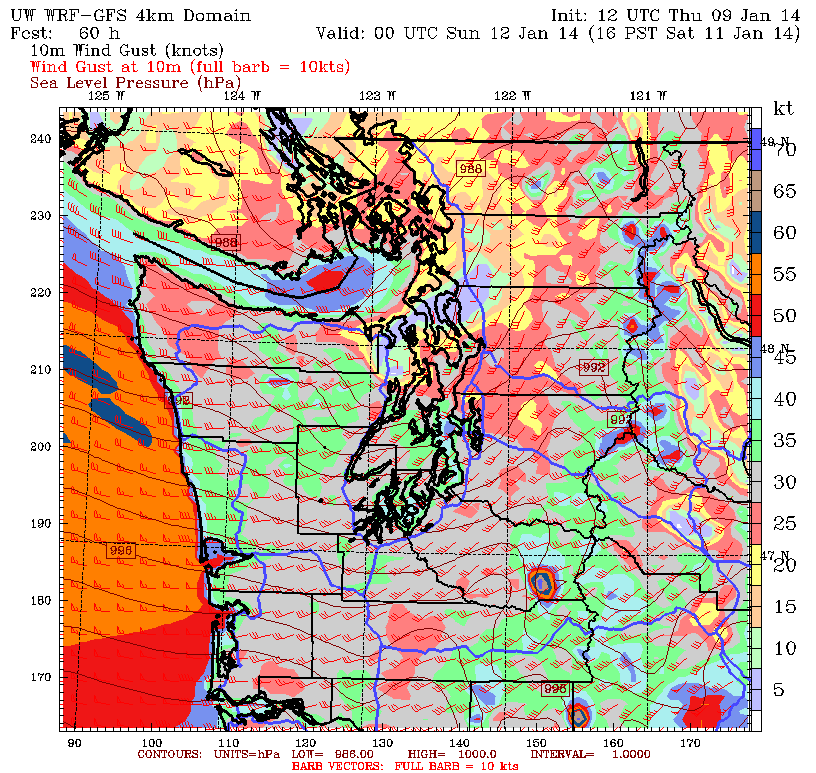
High temperatures tomorrow will jump to a few degrees on the plus-side of 50 (we hit 49 today), and then rise into the mid 50s on Saturday as the front spins towards us from the west. Steady rain is likely by 10 a.m. Saturday, with the winds picking up out of the south in the afternoon. After a week of relatively calm winds, the breezy conditions—while not usual for November—will be pretty noticeable. Around Puget Sound, gusts should max out at 35 mph.

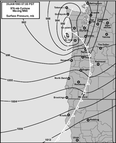
Higher winds will be found up near Bellingham on Saturday, as a strong surface area of low pressure associated with the front slams into northern Vancouver Island. Surface lows that make landfall on the northern half of Vancouver Island often give decent winds to places like Bellingham and the San Juans—while sparing Seattle— as there’s no significant land barrier nearby to block the winds from racing toward the low as it moves inland. Seattle, on the other hand, is effectively blocked from strong southeast winds due to the Olympic Mountains. (It also doesn’t hurt that we’re further south.) For a decent windstorm to occur in the Seattle area—such as the Hanukkah Eve Windstorm of 2006—the surface low needs to track over southern Vancouver Island and then into lower mainland British Columbia.
After a brief break early Sunday, rain and wind will pick up once again as another powerful low swings into northern Vancouver Island. The bulk of the rain is likely to fall Sunday night, with the windiest conditions also occurring then. In Seattle, winds will gust in the 30 mph range.
Another batch of moderate to heavy rain is predicted for Monday, although this time, winds will be on the lighter side. The wet times continue for Tuesday, Wednesday and Thanksgiving as additional systems streaming in from the Pacific plow through Western Washington, drenching Seattle in rain.
And washing away that aforementioned deficit.


