Watch out, Canada.
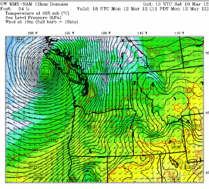
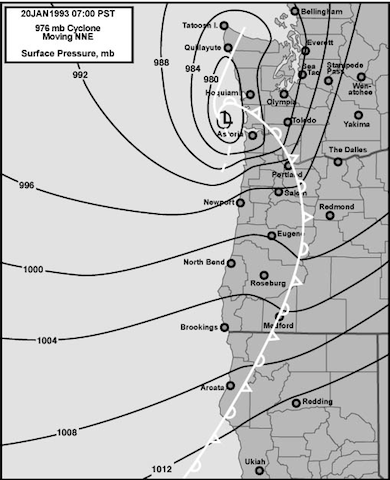
A very powerful surface low—the kind responsible for some of Western Washington’s most damaging windstorms—is headed for Vancouver Island on Monday morning. As it barrels across the eastern Pacific, the low is expected to rapidly intensify, deepening to a central pressure of 966 millibars—in other words, stronger than the infamous Dec. 14-15, 2006 windstorm that pummeled the Puget Sound region as it too tracked towards Vancouver Island.

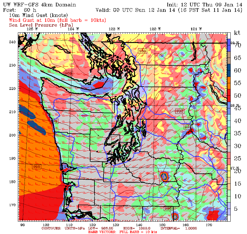
This time around, however, the low will have little impact on our weather. (Sorry, Canucks, you’ll have to ride this one out alone.) Sure, it’ll be windy at times on Monday—gusts may reach 40 mph every now and then—but we won’t come anywhere close to the 70 mph winds that raked the Seattle metro area back in ’06. The reason why? The low will make landfall on the northern end of Vancouver Island, whereas the ’06 storm came ashore on the island’s southern end.
Such a distinction wouldn’t matter if this storm was forecast to make landfall on other nearby islands, as they tend to be on the small side in length—Bainbridge Island, for example, is 10 miles long from north to south. Vancouver Island, however, is in a class by itself, with an approximate length of 280 miles. Come Monday, that 280 miles will make all the difference in the world for Seattle, as the low’s landfall on northern Vancouver Island will be too far away to give the metro area damaging winds. Considering the amazing strength of this low, were it to come in even 150 miles further south (central Vancouver Island), it’d be an entirely different story around here—i.e. battten down the hatches and get your flashlights ready!
Fortunately, for those of you who aren’t in to region-wide power outages and falling trees (raise your hand if you want to spend a couple of cold, rainy nights in the dark in mid-March!), the latest models continue to track this storm into either northern Vancouver Island or points further north. In the world of weather models, it’s all about trends—and over the past few days, models have trended further north with the track of the low. At this point, I’d still expect Monday to a bit of a breezy day around the Sound, but a windstorm won’t be in the cards.
Go ahead and box up those flashlights—and consider sending them to northern Vancouver Island. They’ll need plenty.


