As windy as it was yesterday, it could have been much worse.
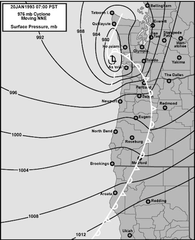
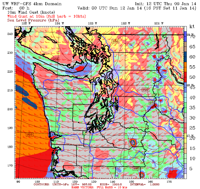
A strengthening area of low pressure over the Pacific swung across the region just south of Bellingham Saturday, buffeting the Seattle area with strong winds and cutting power to 200,000 people. However, because the low only deepened to a pressure of roughly 994 millibars—a weaker reading than most of Seattle’s strongest storms, which typically approach the coast with central pressures below 980 millibars—we were spared a destructive windstorm along the lines of the 2006 Hanukkah Eve or 1993 Inauguration Day storms.
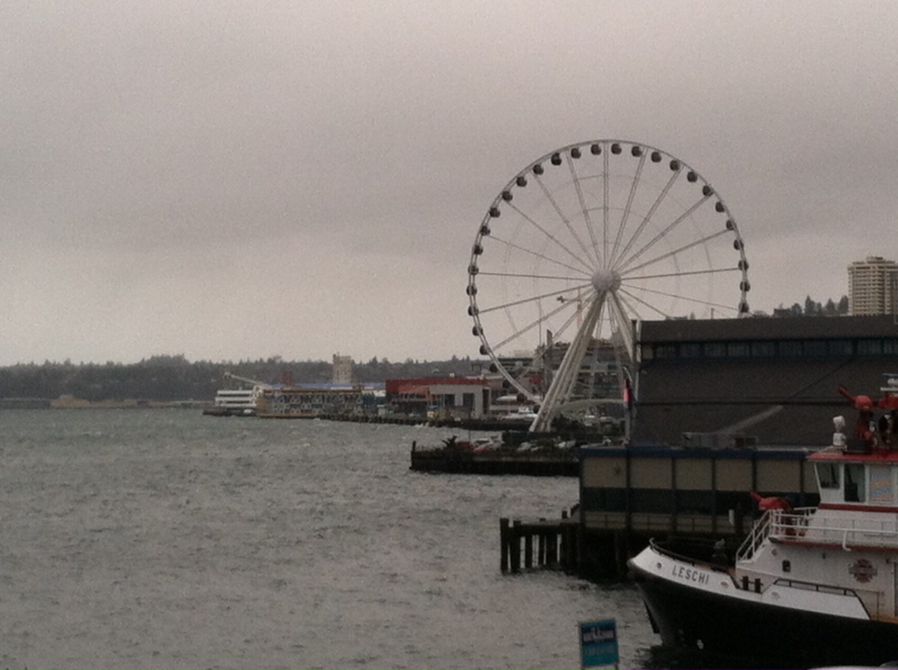
Still, the winds were powerful enough to bring gusts near 50 mph to much of the metro area—the University of Washington reached 49, and Boeing Field in South Seattle maxed out at 47. At Sea-Tac Airport, which sits on a hill 400 feet above sea level, a gust of 59 mph was recorded—matching last Dec. 17 for the biggest wind speed since the ’06 storm.

Overall, on a windstorm scale of 1 to 10—with 10 being the highest—Saturday’s blow probably merits a 4 (bonus points for the swaying of the 520 bridge). This assessment is primarily based on taking the average of the peak wind gusts at six major weather reporting stations in the area—Everett’s Paine Field, UW, Boeing Field, Sea-Tac, the Renton airport and Tacoma’s McChord Field—and matching that number up with this list of Seattle’s top windstorms provided by Wolf Read and the Office of the Washington State Climatologist. Doing this yields an average peak wind gust of roughly 49 mph—making yesterday’s storm a minor event in Seattle’s long history of powerful windstorms.
Factoring in the bridge closure and the amount of people who lost power, however, accounts for ranking this storm on the boundary of minor to moderate—with 7 being a major blow. For comparison with other recent events, both the Hanukkah Eve and Inauguration Day windstorms would warrant a 9, with the high winds of Mar. 3, 1999 and Jan. 16, 2000 earning a 7. (The Columbus Day storm of 1962—which devastated the region with the strongest winds in recorded history—gets a 10+. Make that 10++.)
With yesterday’s blustery conditions in the books, today will be much calmer—with light breezes and occasional scattered showers. Most of the area stands a good chance at seeing some sunbreaks as well, although temperatures will run on the cool side—only topping out around 50 degrees. The same holds true for Monday, with partly cloudy skies and chillier-than-normal readings.
Light rain returns early Tuesday, with amounts only adding up to a quarter-inch or less. On-and-off showers then stick around the remainder of the day, with drier conditions on Wednesday. By Thursday, however, a more robust system rolls into the region, dumping a half-inch of rain on Seattle and making for breezy—but probably not overly windy—conditions.
Better keep that flashlight nearby just in case.


