
Talk about starting off on the wrong foot.
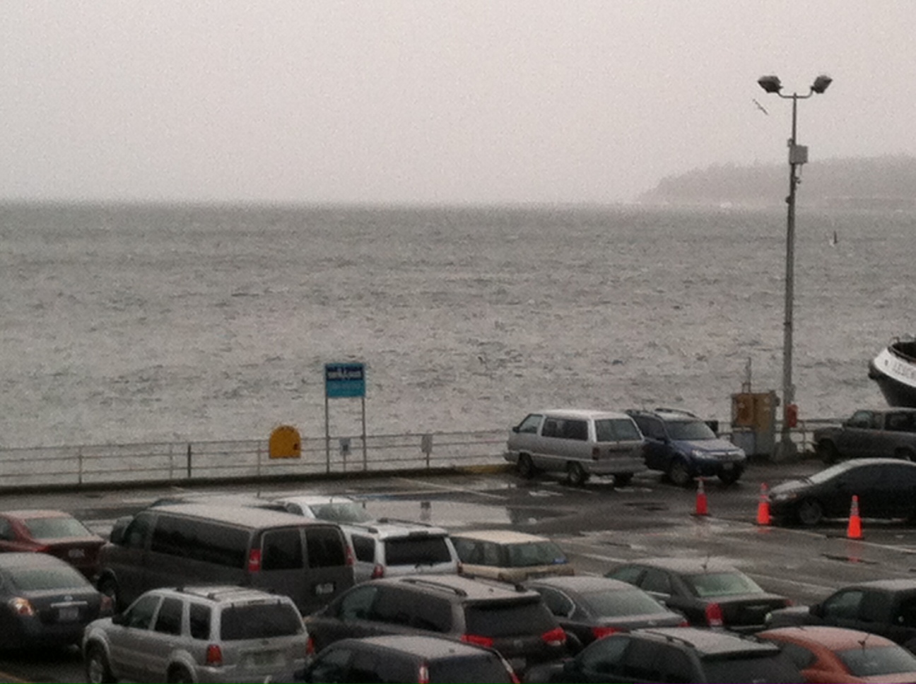
Spring blew into Western Washington today, with gusty winds raking the Sound as the clock ran out on winter. Punctuated by heavy rainfall in the morning, the storm amounted to Seattle’s wettest so far this month, with 0.84 inches recorded in the past 24 hours.
Memo to spring: If you want to make friends around here, this isn’t the way to do it.
The wild start to the season was caused by a rapidly deepening area of low pressure, which bottomed out at 984 millibars as it crashed ashore on northern Vancouver Island this morning. The low then tracked eastward across southern British Columbia, dragging a vigorous cold front south through the area while ramping up winds across the Sound. Seattle clocked a peak gust of 44 mph—the windiest we’ve been since Dec. 17, when the airport hit 59.
As we head into the evening hours, the strong winds will begin to ease, although most places will stay on the breezy side until later tonight. Markedly cooler air will also start filtering into the region as a cold upper level trough moves overhead. With temperatures rapidly dropping into the 30s, a mix of rain and snow is possible wherever showers develop—most likely in a Puget Sound Convergence Zone over Skagit and Snohomish counties. No snow accumulation is expected on roadways there, but some slushy snow could stick to the grass in places above 500 feet. Seattle and the Eastside will likely miss out on any flakes, thanks to the Olympic rain shadow.
The chilly weather continues into tomorrow, with temperatures failing to make it out of the upper 40s. (The normal high for early spring in Seattle is 55 degrees.) Partly sunny skies should compensate for the winter-like feel at times, but the Puget Sound Convergence Zone will also be lurking nearby, threatening to drop frigid showers on the metro area at a moment’s notice.
Lows tomorrow night into Friday are likely to be even colder, with temperatures in the city plummeting to around 35 degrees—and near the freezing mark elsewhere. Highs on Friday will be similar to Thursday’s, again falling below 50. On the plus side, after scattered showers early on, the rest of the day should be dry.
The start of the weekend brings slightly warmer temperatures, with the mercury rising to the 50-degree mark on Saturday amid dry conditions. The pleasant weather continues into Sunday and Monday, with sunshine and temperatures finally creeping into the low 50s.
A welcome sign that spring is trying to find its footing.


