Apparently, whenever July 20 falls on a Friday, so too do the rainfall records.
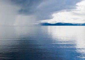
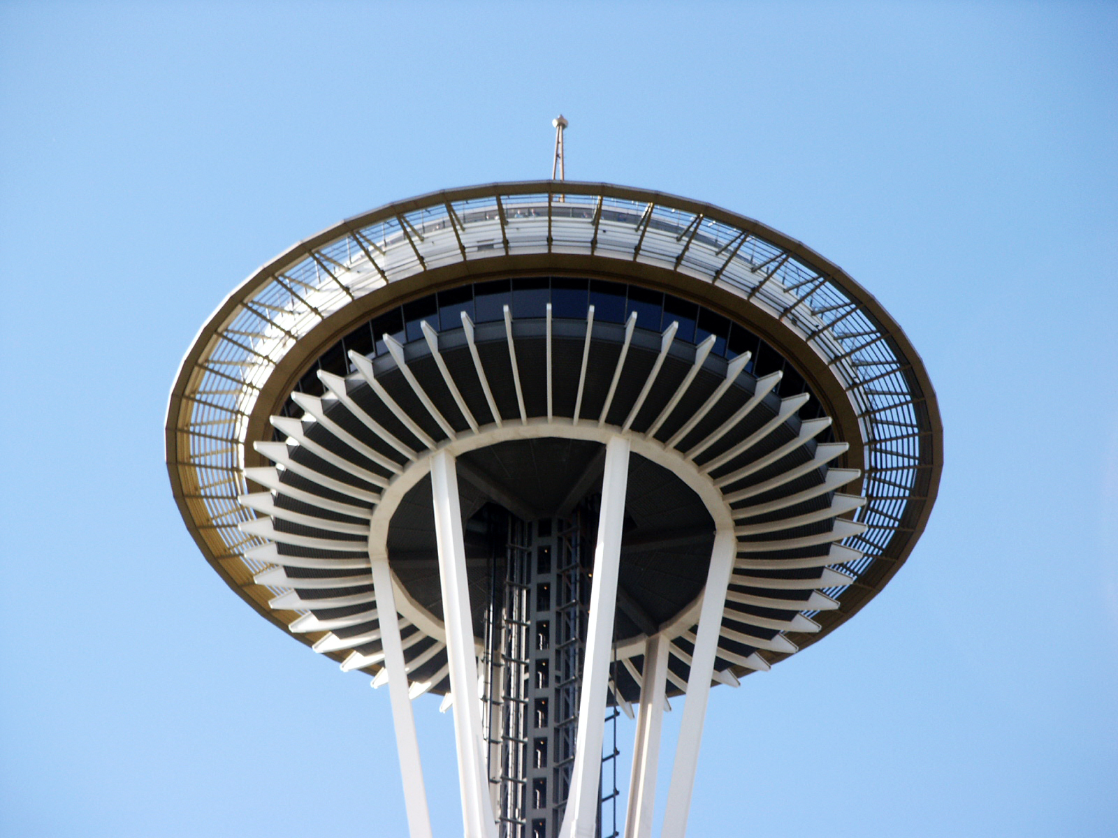
On Friday, July 20, 2007, .45 inches of rain doused the Emerald City, setting a new rainfall record for the day. Today—another Friday, five years down the road—.60 inches has already fallen, making this year’s July 20 the dampest in Seattle history.
Guess that means Friday, July 20, 2018 will be even wetter?

In the here and now, we’ve already had plenty of wet—outside of rewriting the daily rainfall record, this morning’s thunderstorms bumped our July rainfall total up to one inch, exactly. (Through yesterday, we’d seen .40 inches.) An average Seattle July measures only .70 inches of precipitation, meaning that this month will go down in the books as wetter than normal, even if the final 11 days end up completely dry.
Dry is at least in the forecast the rest of the day, as the upper level low that gave us our fifth day of thunderstorms this month has moved into Eastern Washington. Skies will remain by-and-large cloudy this evening, but we should be done with the rain. Highs will reach the upper 60s—about as warm as we were earlier this morning.
Tomorrow kicks off with some morning clouds and temperatures in the mid 50s. The sun should break through around lunchtime, giving us partly sunny skies for the balance of the day. Highs will close in on 70 degrees throughout the Sound.
Another upper level low (insert groan here) skirts by to our north on Sunday, leading to more clouds and isolated showers, especially near the foothills. The bulk of the metro area should stay dry—but it’ll be cloudy and cooler than normal once more. The same goes for Monday, with temperatures again staying well below average.
Where have you gone, summer?


