
Cool and soggy through Sunday. Warm and wet after that.
Welcome to November in Seattle, where the rain loves us like no other.
Nearing the midway point of what’s statistically our wettest month of the year—Seattle averages 6.57 inches of rain in November, an inch more than second-place January—more damp weather is in the forecast, starting tomorrow.
Between now and then, we’ll actually squeeze in a relatively dry period, with the dribs and drabs left behind from earlier showers tapering off as we head further into the afternoon. Cloudy skies will hold tight, however, leaving temperatures stuck in the low 50s.
The lovefest resumes in earnest tomorrow as low pressure marches southward from B.C., driving a solid batch of rain through the Sound during the late morning and early afternoon hours. Expect anywhere from a quarter to half-inch of rain by Friday night—with the lighter amounts in the Seattle and Tacoma areas, thanks to rain shadowing from the Olympics. North of Everett, some spots could see up to an inch—especially in Whatcom and Skagit counties.
Chillier air will also slide in behind Friday’s rainmaker, limiting maximum temperatures tomorrow to the upper 40s—slightly cooler than normal. This should make for Seattle’s first sub-50 high since April. In addition, the winds will rev up by early evening, gusting in the 30 mph range overnight.
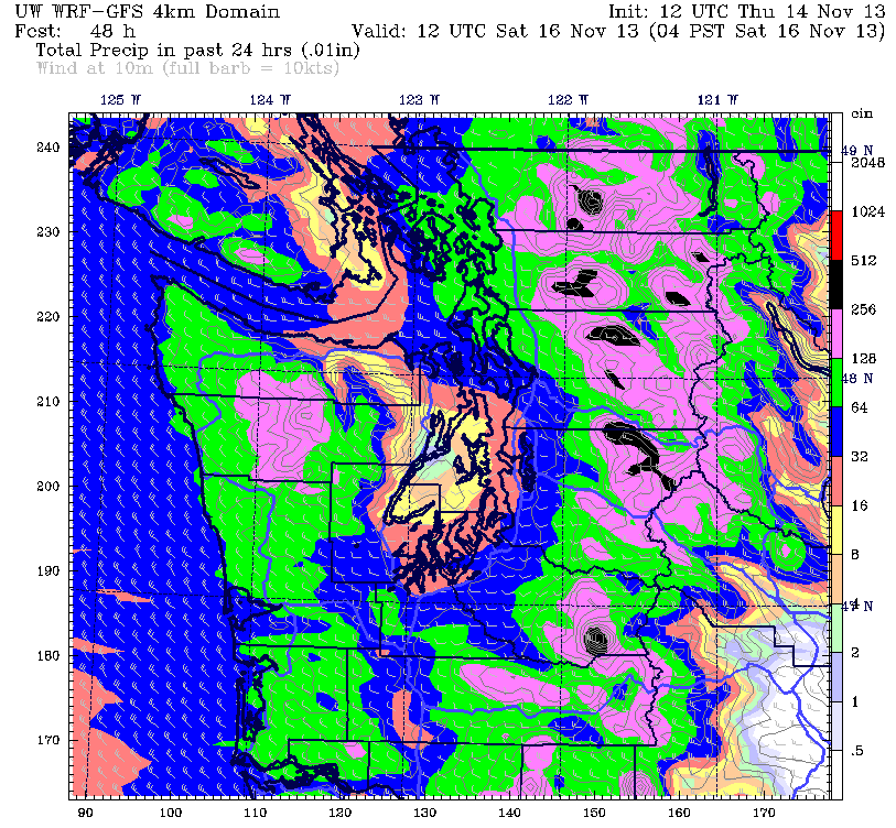
Showers continue to roam around the region during the first part of Saturday, especially east of 405 toward the foothills. Up in the mountains, where over a foot of snow is possible by daybreak Saturday, a lingering Puget Sound Convergence Zone could keep the white stuff falling until noon. Back in the metro area, drippy skies will shut off midday, but it’ll remain mostly cloudy into the evening.
Sunday features more of the same from our affectionate friend, with on-and-off showers and highs in the upper 40s. We’ll kick off on the day on a rather cool note, though, with early morning temperatures bottoming out in the upper 30s. (To date, Seattle’s coldest reading this fall is 38 degrees on Oct. 29.)
Things warm up on Monday as a juicy system takes aim at us from the west, with highs recovering to the mid 50s under darkening skies. From late Monday through next Tuesday, it’s likely to be raining cats and dogs around here, with over an inch possible for most of Western Washington.
Sure feels great to be loved, huh?


Any chance of arctic air coming down the Frasier Valley late next week?
Unfortunately not. I’m pining for some serious cold too, but it doesn’t look likely for the next week.