Our seemingly never-ending rainy stretch is almost over.
Dry skies are expected in Seattle on Sunday, giving us our first moisture-free day since Dec. 8—some three-odd weeks ago.
Ever since then, it’s been an onslaught of clouds and rain throughout Puget Sound, with measurable precipitation landing in the bucket at Sea-Tac Airport on a daily basis. The constant wetness has raised December’s rain tally to 6.79 inches—nearly an inch and a half more than normal—and bumped our year-to-date precipitation 10-plus inches above the typical 37.49 we receive in an average year. (Through today, Sea-Tac has recorded 48.20 inches of precipitation—our highest total since 2006.)

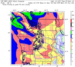
Additional rounds of pesky showers are likely both tomorrow and Saturday, particularly in the morning hours—with amounts around a tenth of an inch. Then, the soggy stretch comes to an abrupt halt on Sunday as a ridge of high pressure parks overhead, shutting off the drippy skies—and bringing out some sun to boot.
The brighter weather will also come with colder temperatures, as clear skies overnight into Sunday help the mercury plunge to the freezing mark. Morning fog may also set in, especially south of Seattle, trapping cooler air near the surface before the sun breaks through. Highs on Sunday will fall to near 40 degrees—a few degrees cooler than the 45-degree weather predicted for tomorrow and Saturday.
Colder temperatures are likely to linger into Monday—the final day of the year—before a warmer, wetter system takes aim at the region in the afternoon and evening hours. By Monday night, light showers should be falling across the Sound—ending our dry spell at just 36 hours. Fortunately, the rain won’t stick around too long this time, with dry conditions returning later on New Year’s and carrying over into Wednesday.
Wet weather that only lasts a day? Sounds like 2013 is set on making a good first impression.


