
If this were winter, we wouldn’t even bat an eye.
But in August, when we’ve grown accustomed to sunny skies, two days of rain can lead to a double take.
For the second day in a row, pesky showers and spotty drizzle are targeting Puget Sound, with the official rain gauge at Sea-Tac Airport up to 0.07 inches as of late this afternoon. The rain is courtesy of Seattle’s first semi-respectable cold front since late June—not coincidentally, yesterday and today’s showers mark our first set of back-to-back rainy days since June 26-27.
The drippy weather will stay intact for the balance of the day as the front trudges slowly eastward, with temperatures holding steady in the upper 60s until sunset. With plenty of moisture trapped in the air, muggy conditions will also prevail.
We catch a break on Friday, with gray skies in the morning yielding to a little sunshine by noon. Highs will rebound into the mid 70s, with some isolated showers lurking in the mountains.
A parting shot of rain swings through during the first part of the day on Saturday, with plenty of clouds in tow. Some clearing is possible after lunchtime, but it won’t be much in the way of eye candy. Still, temperatures should hover around 75 degrees by late afternoon—normal for the middle of August.
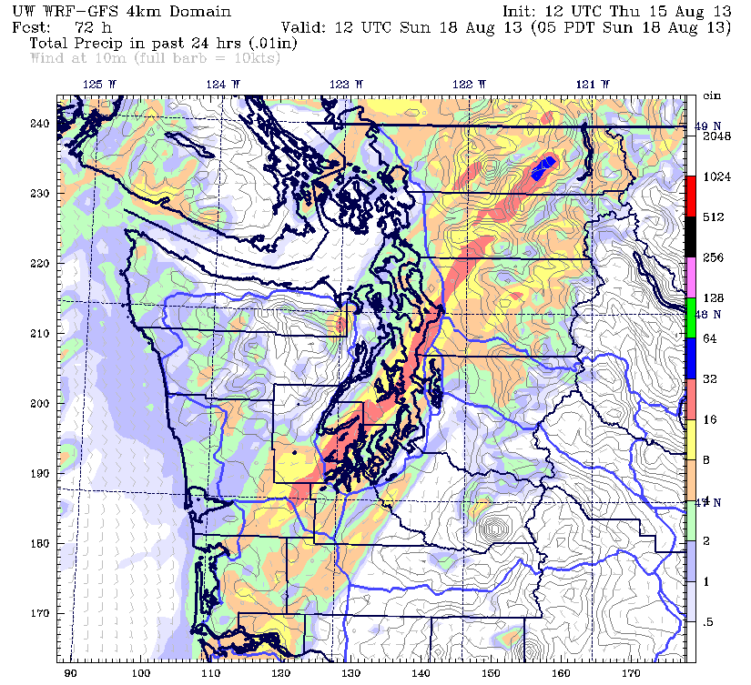
Full-on sunshine returns in time for Sunday, with all of Western Washington basking in a pleasant summer day once the marine layer erodes later in the morning. Temperatures should have no trouble climbing into the mid 70s after the sun breaks through.
The picturesque conditions continue into Monday and Tuesday, with highs approaching 80 degrees both days under mostly sunny skies.
Now that’s weather worth gawking at.


