Can’t we drag this out a little while longer?
Dry weather is engulfing the region for the fifth straight day, with patches of blue sky peeking out from the haze—enough to ignite a burst of spring fever up and down Puget Sound. Fresh off the heels of our first rain-free weekend in two months, warmer air from the east is boosting temperatures into the lower 60s—about as balmy as we’ve been since last October.
Naturally, it all goes out the window tomorrow.
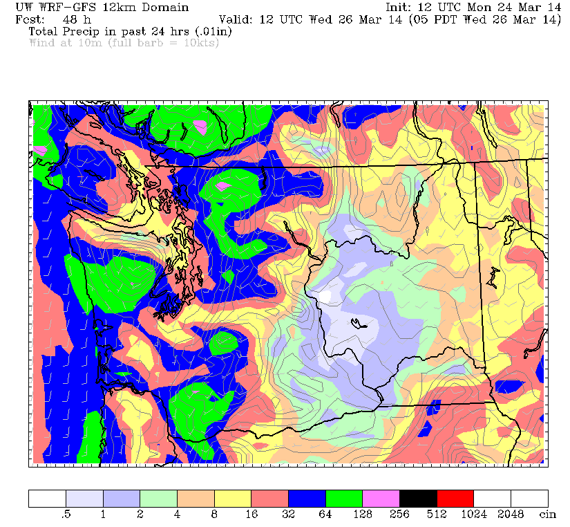
A cold front sweeping eastward from the Pacific will plow into the region overnight, touching off a round of showers by sunrise—with another batch moving through in the afternoon. Roughly a quarter-inch of rain is possible around Seattle, with higher totals to the south, where amounts could approach the half-inch mark. If you’re keeping score, tomorrow’s storm should put Sea-Tac Airport at about 8 inches on the month—one good soaking away from surpassing March 1950 for the wettest March ever.

Temperatures crash behind the front Tuesday afternoon, lowering afternoon highs to the mid 50s—a good ten-degree drop-off from today. Winds will also be blustery at times, gusting as high as 30 mph into tomorrow night.
The rain slackens a bit on Wednesday morning, putting us in more of a showers-and-sunbreaks routine—with the greatest chance for some sun around midday. Another wave of moisture then arrives late Wednesday night into Thursday, dampening the skies over Seattle once again. It’s this storm that could lift us over the top—current weather models call for a half-inch of rain at Sea-Tac, which would be enough to best 1950’s mark of 8.40 inches.
After a drippy Thursday, a final slug of moisture trudges up from Oregon on Friday, with light to moderate rainfall expected throughout the Sound. Fortunately, the heavy stuff from this system looks to stay well to our south—sorry, Portland—but Seattle should still pick up another quarter-inch or so, all but locking up the wettest March on record should we fall short Thursday.
We stay wet and cool into the weekend, squeaking in a few sunbreaks between plenty of showers. High will range from the low- to mid-50s, with overnight temperatures dipping to the lower 40s—a far cry from the warmth of today.
Sigh—in a March as soggy as this one, it can only stay nice for so long.


