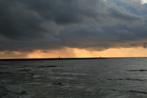
Ready for another cloudy stretch?
Fresh off the heels of last week, which featured a steady diet of clouds and occasional showers, the coming workweek promises to be no different. Thanks to persistent onshore flow—moist, southwesterly winds blowing in from the Pacific Ocean—clouds will once again dominate the weather picture over the next several days.

After a couple of sun breaks this afternoon, the cloud-fest resumes in earnest this evening, as an area of low pressure approaches the southern Oregon coast. This low will track northeast towards the Yakima Valley early Monday morning, tossing clouds—and showers—into Western Washington as it spins closer to us.
Light rain is most likely around the Seattle area mid-day and in the late evening hours, with a break possible in the afternoon. Temperatures will top out in the mid-60s—a notch or two below normal, due to the extensive cloud cover.
By late Monday night, a second batch of moisture will move into the area, generating another round of rainfall that will last into a good part of Tuesday. This period is likely to be the wettest of the week for the Seattle area, with models suggesting anywhere from a third to a half-inch of rain falling between Monday night and Tuesday afternoon.
The skies will dry out by Wednesday, but clouds are expected to linger for much of the day. Highs will make it to the low 60s. By Thursday, more rain is likely.
Long-range models indicate we’ll be stuck in this pattern through at least the coming weekend, as clouds and showers continue to roll in off the Pacific.
Did someone say June Gloom?


