We’re sure being hounded.
A steady rain has stalked Seattle from dawn to dusk today, dropping over half an inch on the city amid chilly, overcast skies. Already, the soggy weather has made for our wettest day in two weeks—no small order, considering how damp February was. Unfortunately, even as Sunday winds to a close, there’s more moisture yet to come, thanks to a juicy warm front slinking in from the coast.
When, oh when, will Mother Nature stop dogging us?
Not Monday, that’s for sure. Rain will continue overnight into tomorrow morning, with another quarter-inch expected by sunrise. After a brief midday break, a renewed round of showers swings through in the afternoon and evening, with blustery conditions also developing. On the bright side, highs will at least manage the low 50s—noticeably warmer than the mid 40s of late.
The rain eases up somewhat on Tuesday, with showers becoming more scattered in nature—although those that develop could still pack quite the punch. Temperatures will also cool off a tad, topping out below 50 degrees for most places.

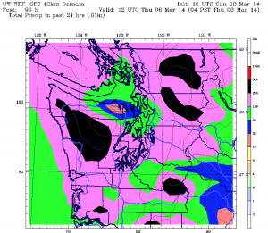
Another big system hunts us down in time for Wednesday, with moderate to heavy rain rolling into the region by late morning. Expect up to an inch around Seattle by nightfall, accompanied by breezy conditions. A follow-up shot of moisture then blasts through on Thursday, with half-inch rainfall totals common across the Sound. With warmer air arriving, high temperatures will nudge into the mid 50s—about normal for early March.
Then, finally, Mother Nature lets up. Friday should dawn dry and partly sunny as high pressure settles in overhead, squelching the chance for any lingering shower activity. By afternoon time, things are expected to be downright pleasant, with the mercury jumping into the upper 50s under sunny skies—a taste of spring at last.
And a reminder of how enjoyable the weather can be around here when the rain isn’t hot on our heels.


On Sunday it looked to me like incoming moisture was interacting with the lingering remains of the Fraser outflow, creating a persistent convergence zone. There was this band of rain that just sat over the central Puget Sound region for hours. There wasn’t nearly so much color on the radar to the north or the south.
For most of the day, it was quite cold (in the 30s here on Bainbridge), and it was foggy as well as rainy. The latter is typically a sign that the precipitation is warmer than the air (think of a steaming hot bowl of soup), which is what one would expect if there was an interaction with lower-level cold air.
Just think of the huge dump of snow it would have been were it January and about five degrees colder! On the other hand, it might have been a major ice storm… much less fun.
Yeah, it really could have been quite the snowstorm–so close!