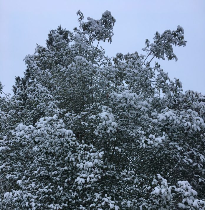
In 70-plus years of records, measurable snow had never fallen in Seattle on Feb. 21.
Old Man Winter sure took care of that yesterday.
Our late-season arctic blast made its way into the record books last night, delivering a solid inch of snow to the city’s official measuring site at Sea-Tac Airport (and bumping our winter snowfall total up to 4 inches)—with amounts as high as 3 inches further south in Tacoma. To the north, snow totals generally ranged from a half-inch to an inch, as the Olympic mountains blocked much of the moisture headed for northern parts of Puget Sound.
The fresh snow, followed by clear skies, was also enough to mercifully halt Seattle’s seven-year stretch without a record low temperature. Just before 8 a.m. this morning, the thermometer at the airport dipped to 26 degrees—smashing the previous daily record low of 30 degrees (set in 2005). That’s the first time since Feb. 25, 2011 that the city logged a record low temperature—with 69 high temperature records set or tied during this timeframe.
And we could do it again tomorrow.
With frigid air remaining in place—today was our fifth straight day with high temperatures in the 30s—the mercury will nosedive again overnight, likely bottoming out in the mid to upper 20s. That’s right where the current record low temperature for Feb. 23 sits: 27 degrees, set during our last late-winter cold spell in 2011. Clouds will thicken in a hurry before dawn, so it’ll be a close call.
The clouds, of course, are a sign of yet another potential snow maker: a low pressure system diving southeast from Alaska. This system is much juicier than last night’s—but it’s also a touch warmer, and will be arriving in the early to mid-afternoon hours.
With that said, temperatures will still have a tough time getting north of the mid-30s, meaning there’s a high chance that the precipitation begins as snow, before eventually turning to rain. The latest models estimate that before the changeover occurs, about 1 inch of snow could fall from Everett through Seattle. Further south toward Tacoma, a half-inch or less is the most likely outcome.
Importantly, main roads will likely stay warm enough to prevent much, if any accumulation—at least through the evening commute from Seattle south. From about Shoreline north to Arlington, a Puget Sound Convergence Zone is likely to form—and that could deliver a more potent round of snowfall sometime after 7 pm.
Warmer air then leaks into the region by Saturday morning, bumping the mercury up just enough to transition most areas to a cold rain or a rain/snow mix. Highs could even touch 40 degrees—still a solid 10 degrees below normal for late February, but the warmest we’ll have been in a week. Sunday features another potential snow threat during the evening hours, with additional chances for light snow continuing into next week.
Clearly, Old Man Winter is intent on sticking around.
Want real-time updates as the storm happens? Follow us on Twitter or like us on Facebook!


Can someone ask Al Gore to bring over some MMGW? It’s too cold for me!